Complete Communities A guide to geospatial land use assessments for British Columbia’s communities

The Complete Communities guide is intended to support local governments in advancing identified community goals through creating more complete communities. It focuses on the process of undertaking assessments to inform land use decision-making, including consideration of housing need, supply, and location; providing transportation options including increased walkability; and making connections to infrastructure investment and servicing decisions.

The guide is intended to be a resource that provides a pathway to elevating the conversation about complete communities in B.C., assisting  in developing a scope of work to seek technical advisory services (if desired), and guidance for technical staff who are completing work “in-house”.

Promoting brownfield programs and opportunities in Canada

This guide outlines steps to help you find and engage the right developers and collaborators for brownfields sites in Canadian cities and towns of all sizes.

The guide also includes case studies that offer creative ideas and practical examples that you can apply in your municipality.

The guide is designed for: Municipal staff, such as sustainability coordinators, planners, project managers, economic development officers and chief administrative officers, who are responsible for creating and implementing a brownfield strategy.

Green Development Guide 

The City of Coquitlam Green Development Guide provides an explanation of five key green development topics; highlights green development practices applicable to development conditions within Coquitlam; can be used to facilitate discussions regarding sustainable development; and is a potential resource for development projects:

  • Green Building (including renewable energy)
  • Green Infrastructure (stormwater management and district energy)
  • Natural Infrastructure (open space networks, naturescaping)
  • Sustainable Transportation (street design, transit-oriented development)
  • Sustainable Neighborhoods (design principles, rating systems)

Eco-Asset Strategy in the town of Gibsons

Town of Gibsons explores managing the natural capital using infrastructure and financial management concepts that are systematically applied to managing engineered assets. The rationale is that the natural services provided by these systems have tangible value to the community as, or more, effective as engineered infrastructure.

Dig It Community Garden Guide: How Local Governments Can Support Community Gardens

The guide provides an introduction to community gardens and offers background information designed to help local governments understand the benefits and challenges of community gardens.

It also provides some practical tools and templates that can be used or adapted by local governments summarizes the report, makes recommendations for further work, and offers a variety of resources related to community gardening.

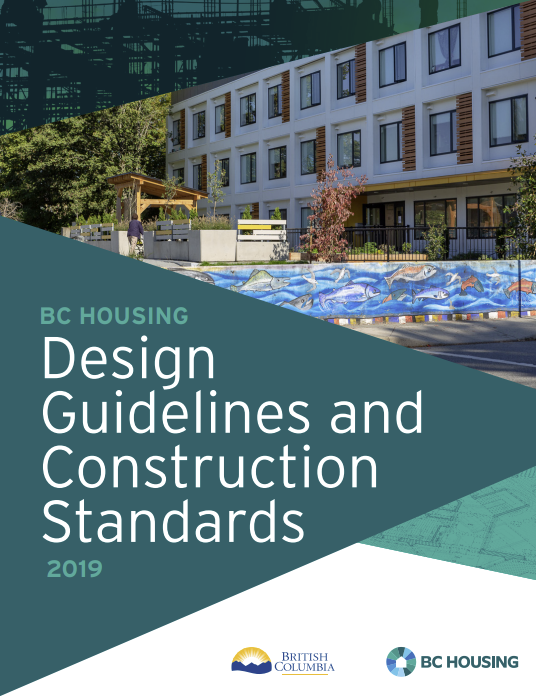
BC Housing Design Guidelines & Construction Standards

The BC Housing Design and Construction Standards provide standards and technical guidelines for designing and constructing new buildings, conversions and renovation projects funded and financed by BC Housing. The BC Housing Design and Construction Standards are intended to provide safe and secure housing that responds to the needs of the residents and fosters a sense of community. The standards also help guide the design projects to be cost-effective, spatially efficient, easy to maintain and to pursue sustainable design and construction practices that balance environmental, among others.

Overall, the BC Office of Housing and Construction Standards website offers information on building standards and best ‘green’ practices in BC.

Example of PMD

Proximity Measures Database (PMD)

In 2020, Statistics Canada (StatCan) and Canada Mortgage and Housing Corporation (CMHC) collaborated on the implementation of a set of proximity measures to services and amenities. CMHC funded this collaboration to generate data and analytical work in support of the National Housing Strategy. The result of this collaboration is the first nationwide Proximity Measures Database (PMD).

The database contains 10 measures of proximity and a composite indicator that combines some of the proximity measures. All measures are at the dissemination block level (a block in urban areas or an area bounded by roads in rural areas), this provides the highest level of geographic resolution currently possible.

This tool can help local governments review their built environment and find how different neighbourhoods have varying levels of amenities.


The Measures of Proximity included in the PMD are:

  • Amenity-dense neighbourhood: An aggregate measure to indicate neighbourhoods that have access to basic needs for a family with minors. A dissemination block with access to a grocery store, pharmacy, health care facility, child care facility, primary school, library, public transit stop, and source of employment is referred to as an amenity-dense neighbourhood.
  • Proximity to employment
  • Proximity to grocery stores
  • Proximity to pharmacies
  • Proximity to healthcare
  • Proximity to childcare
  • Proximity to primary education
  • Proximity to secondary education
  • Proximity to public transit
  • Proximity to neighbourhood parks
  • Proximity to libraries

How to access and find out more:


TransLink Transit Oriented Communities Guidelines

In order to further the development of more transit-oriented communities in Metro Vancouver, this document provides guidance for community planning and design – based on best practices – in the areas surrounding transit stations, exchanges, and stops.

The concepts of transit oriented communities are applicable in broad range of contexts. This guide may be of interest to communities outside of Metro Vancouver.

Transit Supportive Communities Guidelines

This guide was prepared to help local governments create an environment that is supportive of transit and develop services and programs to increase transit ridership. This includes promoting development patterns that make transit less expensive, more efficient, less circuitous and more convenient. While the document was prepared by the Government of Ontario, key principles, tools, and guidelines are still useful and translatable to communities regardless of province. These include:

  • Development densities needed to support various types and levels of transit service
  • Community-wide and site specific guidelines on supporting local transit networks, such as urban form and site design
  • Bus stop and accessibility guidelines
  • Ways to work with and around other street users (sidewalks, bike lanes, parking strategies)